From one of LA's most hidden parks up to some epic rock formations
| Red Rock Park to Calabasas Peak Santa Monica mountains, Calabasas CA From one of LA's most hidden parks up to some epic rock formations |
| This area has tons of giant boulders, unique rock formations and caves. Hidden in the backwoods of Old Topanga Canyon road, Red Rock park is known only to locals. I've been riding my motorcycle in the Santa Monica mountains for many years and have discovered all the back roads. Earlier, I'd hiked up the 1.5 mile footpath just out outside the park, which climbs up to some nice vistas. This time, I took the fire road trail, about 3 miles up to a much higher point. Near the top, the Red Rock trail intersects with a more well-known trail up from Stunt Road to the Peak, one I'd always wanted to climb because it passes through some amazing rock formations. I hadn't made the connection before that you could reach Calabasas Peak from the Red Rock/Topanga side. | This whole area of sandstone mountains once lay flat on the bottom of the ocean for centuries - evident by the exposed layers. Then powerful eruptions pushed all these flat ocean bottom layers almost straight up in the air perpendicularly, making for dramatic jutting rocks and peaks. |
| This hike is a on dirt/gravel fire roads. Follow red rock trail up the mountain. As you start up the road a short distance beyond the ranger houses, on the right is a footpath that climbs about 1.5 mi. to some interesting rock formations; worth a look if you have time. After 2-3 mi. on Red Rock trail, T/R on Calabasas Pk. trail to the top. Be alert for rattlesnakes, poison oak and ticks. |
| STATISTICS |
| Red Rock Park to Calabasas PeakSanta Monica mountains, Los Angeles county Height: Approx. Elevation gain: Approx. 1500-1600 ft. Distance: 3 - 4 mi. one way Duration: 1.5 - 2 hrs one way Difficulty: Easy Water availability: None |
| From San Fernando valley in Los Angeles, take Hwy. 101 W., exit Topanga Canyon south, go 2 mi. T/R Mulholland, go .5 mi. T/L Calabasas rd. Go about 4-5 mi., through light past Calabasas High School, T/L Old Topanga Canyon road. Go about 5 miles, T/R on ?, go to the end. | Parking in Red Rock Park lot is $3 or so. Bring cash. Or you can park on the road and walk. Trailhead is fire road at far end of the parking lot. | |
|
||
 The parks namesake starts along a nice stream. |
 What power it took to push these rocks almost straight up. Calabasas Peak in distance. |
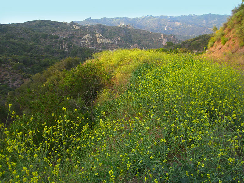 This park between Topanga Canyon and Calabasas is between housing developments but there is plenty of wildness to roam. |
 The rocks have unique turbulent swirling patterns. |
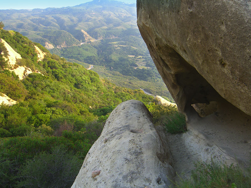
 This shot is looking up from inside an overhang cave |
 This cave is big enough to sleep in, if you dare! |
 View to twisty Stunt road, a favorite among sport motorists. |
 Once carved by ocean currents, now tagged by high schoolers. |
 |
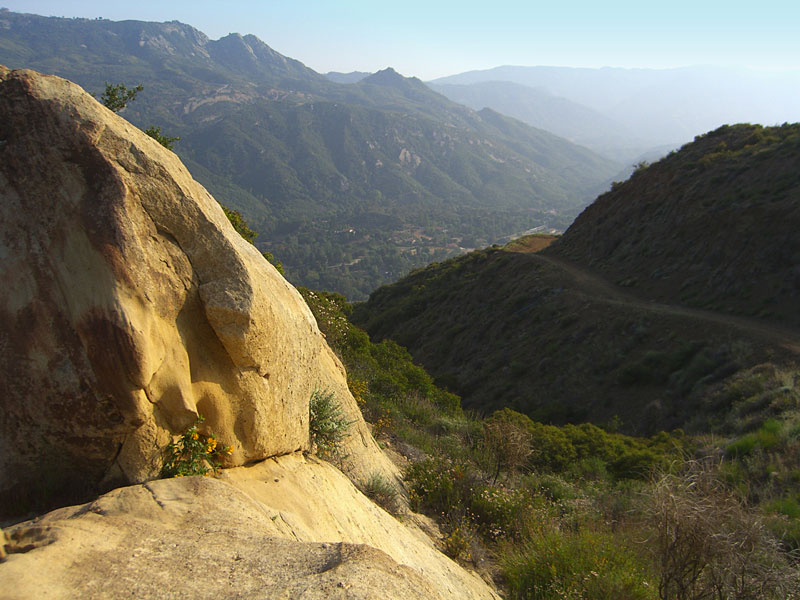
 Red Rock valley is down to the left. From above the layered rocks, you can see the trail up from Stunt Rd. |
 You could see the ocean through the haze, but it didn't come out in
the pix. You could see the ocean through the haze, but it didn't come out in
the pix. |
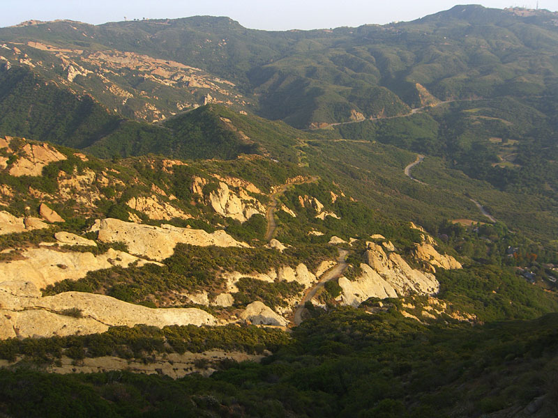
 The big white rock atop the mountain in distant center is an interesting hike reached from the fireroad at the Stunt/Schueren Rd. overlook. |
Since
Jan.09
|