Exploring rugged mountains above the N. Malibu coast and climbing the highest peak in the Santa Monica mtns.
| Boney Mountain, Sandstone Peak
via Backbone, Mishe Mokwe trails Exploring rugged mountains above the N. Malibu coast and climbing the highest peak in the Santa Monica mtns. |
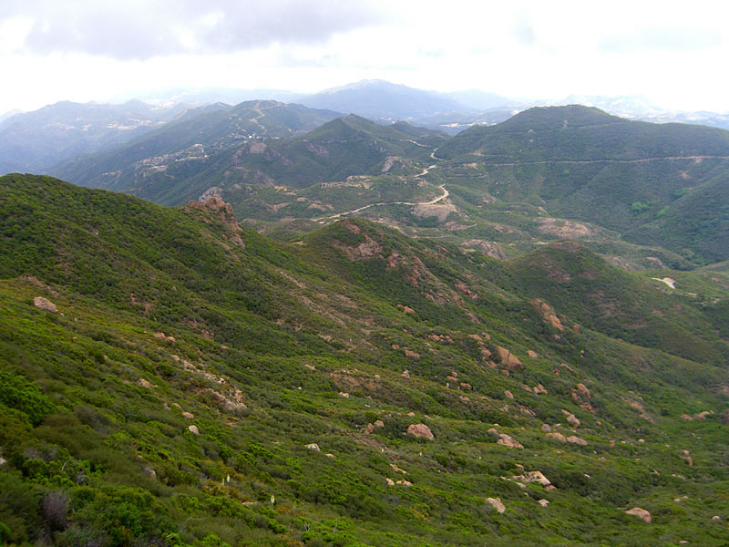
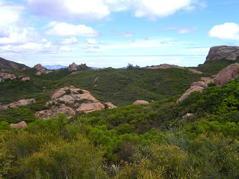
| This is one of the most magnificent mountain ranges in Southern California, with dramatic jagged peaks, high above the Pacific Ocean. Boney Mountain lies in the backcountry of N. Malibu at the very north end of the Santa Monica mountains, just across the Los Angeles county border in Ventura county. 3100 ft. Sandstone Peak is just one of the many points of this mountain that can be seen from the PCH to the Hwy. 101. That fact that few Angelenos are aware of this wild treasure in their backyard adds to the enjoyment. This is a huge park and it's easy to hike for an hour without seeing anyone, even on a warm, sunny weekend. This whole range was under water at one time and there are endless rock formations and caves to explore. | The Mishe Mokwa trail
and the Sandstone Peak trail form a loop of about 6 miles. But with
detours to explore parts of Tri Peaks, this was around an 8-9 mi. hike. A clear day offers excellent views of the San Fernando valley East, Malibu South, the ocean West and Ventura county North. These pictures give only a small indication of the sense of scale and height and wilderness. Perfect weather, started overcast, ideal for the 2 hours of ascent before the sun came out. Then the afternoon cleared off beautifully. |
| Sandstone Peak trail
starts as a gated fire road at the north end of Backbone Trail parking lot and climbs
up through switchbacks to the ridgeline. About 3/4 mi. up, you'll pass
the footpath for the Mishe Mokwa loop on the right. When you reach the
top, look for the footpath to Sandstone Peak on your left. Be alert for rattlesnakes, poison oak and ticks. |
|
| STATISTICS |
| Boney MountainSanta Monica mountains, Ventura county Height: Approx. 3000 ft. Elevation change: Approx. 1800 ft. Distance: 9 mi. loop Duration: Approx. 5 hrs. Difficulty: Moderate. Water availability: None |
| From San Fernando valley in Los Angeles, take Hwy. 101 north to the town of Westlake Village. Exit Hwy 23 south/Westlake Blvd., T/L (southwest) over freeway. Follow Westlake Blvd. 10-15 miles up the mountain, where it becomes Mulholland Hwy. Go 6-7 mi.on twisty Mulholland and T/R at stop sign, staying on Mulholland. About one half mi., T/R Little Sycamore Canyon Rd. and go 15 mi. or so. After a few miles, LSC road becomes Yerba Buena road. You'll see parking area for Boney Mtn. on right. | From the Pacific Coast Hwy., go 30+ mi. north of Sunset blvd. T/R at Yerba Buena Rd., which is on the north side of the restaurant Neptunes Net., and follow 10+ mi. it to the Boney Mtn. parking lot on left. | |
|
||
 Sandstone Peak, 3100' highest pt. in SM mtns. Feels higher because sea level is right there. |
 |
 |
 |
 |
 |
 |
 S. towards Malibu |
 |
 |
 Thats Palos Verdes peninsula across SantaMonica bay |
 |
 |
 |
 |
 |
 Looking west |
 |
 |
 At the height of TriPeaks, I hiked up and trail-blazed through some brambles to reach a rocky outcrop like this for great vistas. |
 A great perch for lunch. You can see some of the Channel Islands |
|
 When the sun disappears up here, and you stop moving to eat, warm clothes are your friend. |
|
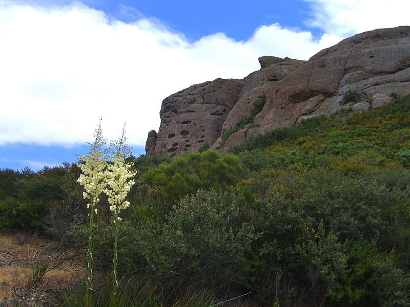
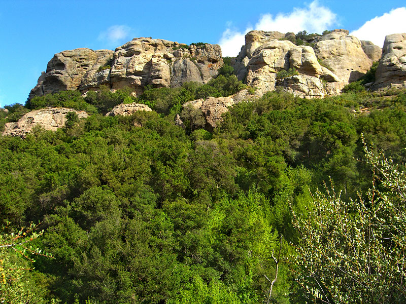
 Next hike, I'll explore the caves in the big rock at right. You can't tell here, but its actually hundreds of feet tall. |
 |
 |
 |
 |
 |
 One of the TriPeaks. Theres a guy at the very top taking pix. |
 One, or all of these, is Skull Rock. Which one do you think it is? |
 |
 Balance rock |
 |
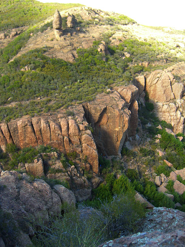
 Echo Cliffs. I could hear peoples voices from way off, but couldn't tell from where... |
 Under Balance rock is a 100' sheer wall used by rock climbers. You can see one guy more than halfway up. |
 I watched this guy inch his way up using the tiniest finger and toe holds. Then he rappelled down. |
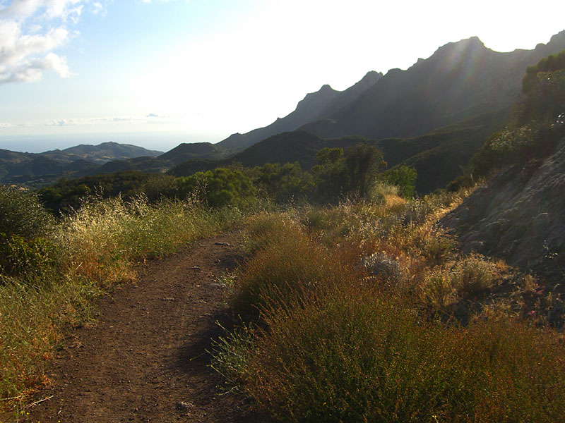
 East towards Thousand Oaks and SF Valley |
 After six hours, I'd made a complete circuit and my dogs wuz achin'. |
 |
 |
 From Little Sycamore Canyon road on the way out. One of those peaks is Sandstone Peak. |
 Little Sycamore Canyon road |
Boney Mtn panorama, stitched together from several pics. |
Panorama - Big version |
 |
Since
Jan.09
|

